

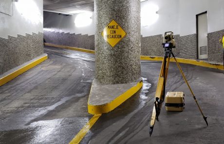
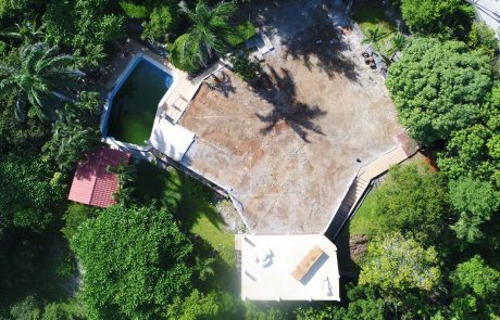
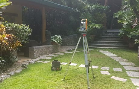
Location of elements of interest in buildings as well as the measurement of internal and external dimensions of a

Cadastral reconciliation
webmaster2020-03-17T17:29:48-06:00Verification of the conformity of boundaries and infrastructures of a property registered in a plan, in relation to the
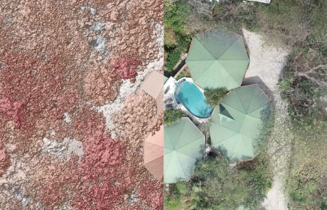
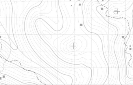
Contour lines
webmaster2020-03-16T22:21:52-06:00Representation of the level variations suffered by the terrain, through lines that connect points of equal elevation.
Urbanizations and condominiums
webmaster2020-03-17T17:30:16-06:00Design of Urbanizations and Condominiums following the national regulations in force. Go back Contact Us
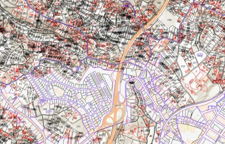
Geographic Information Systems
webmaster2020-03-16T22:21:53-06:00Physical space data compilation using computer tools, which allow the end user to create queries and to integrate, analyze

Measurements with GNSS
webmaster2020-03-16T22:21:53-06:00Global Navigation Satellite System, which allows measurements to be made through the constellations that make up this system (GPS
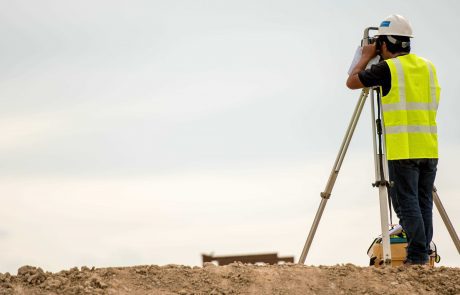
Work control
webmaster2020-03-16T22:21:53-06:00Verification that what is being executed in a civil work coincides with the previously established design, in accordance to
Appraisals
webmaster2020-03-16T22:21:53-06:00Value estimation of a property or item. Said value may be commercial or fiscal. To determine this value, a
